


Where Does Route 3 Begin And End In Kumamoto? I Rode From One End To The Other On A Moped.
public: 2024.07.19
writer:kese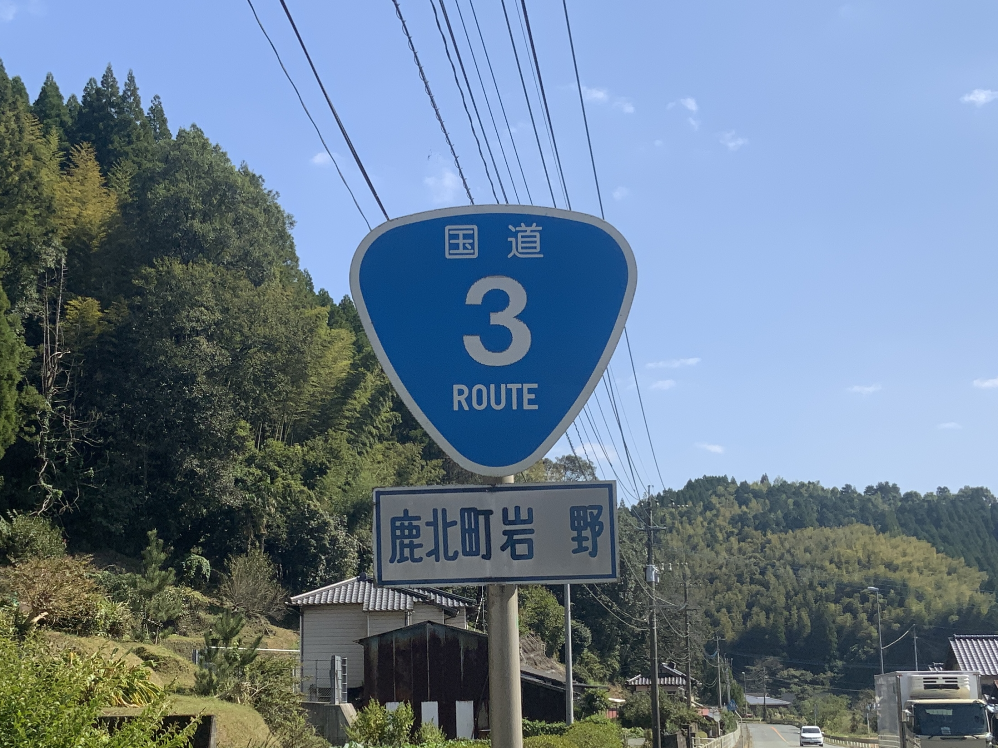
National Route 3 is probably the most mentioned road when talking about Kumamoto’s roads. Out of curiosity about its length and wanting to learn more about the road and where it leads, I rode my moped from the Fukuoka prefectural border at Kahoku in Yamaga City, all the way to the border with Kagoshima in Minamata City.
Contents
National Route 3
National Route 3 is a familiar sight for those living in Kumamoto.
It runs from Moji-ku, Kitakyushu City, Fukuoka all the way to Kagoshima City via Kumamoto.
Curious about its full extent, I decided to ride it from one end to the other. And I did it on a moped.
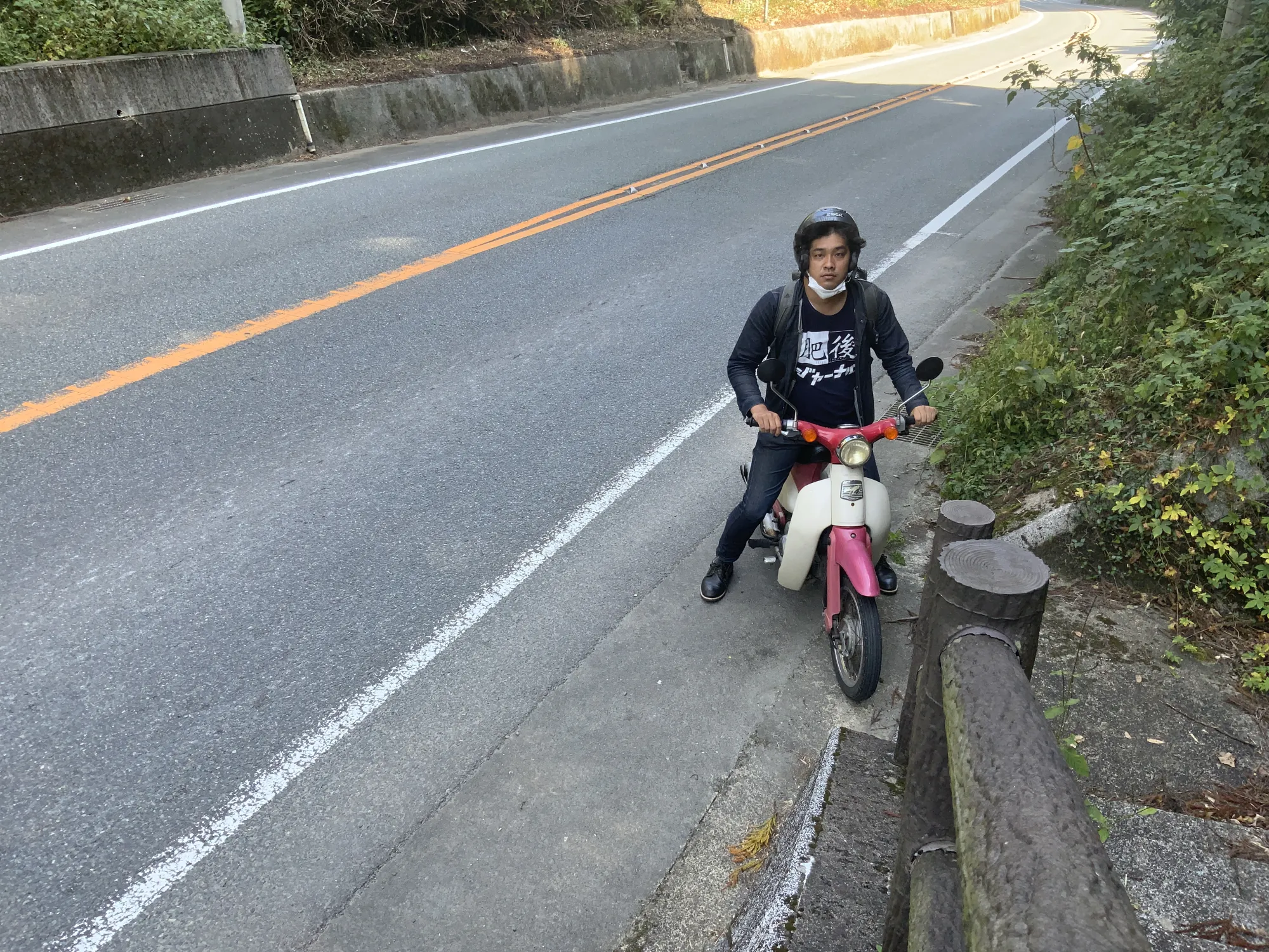
So, I hopped on my trusty Little Cub and headed to Kahoku.
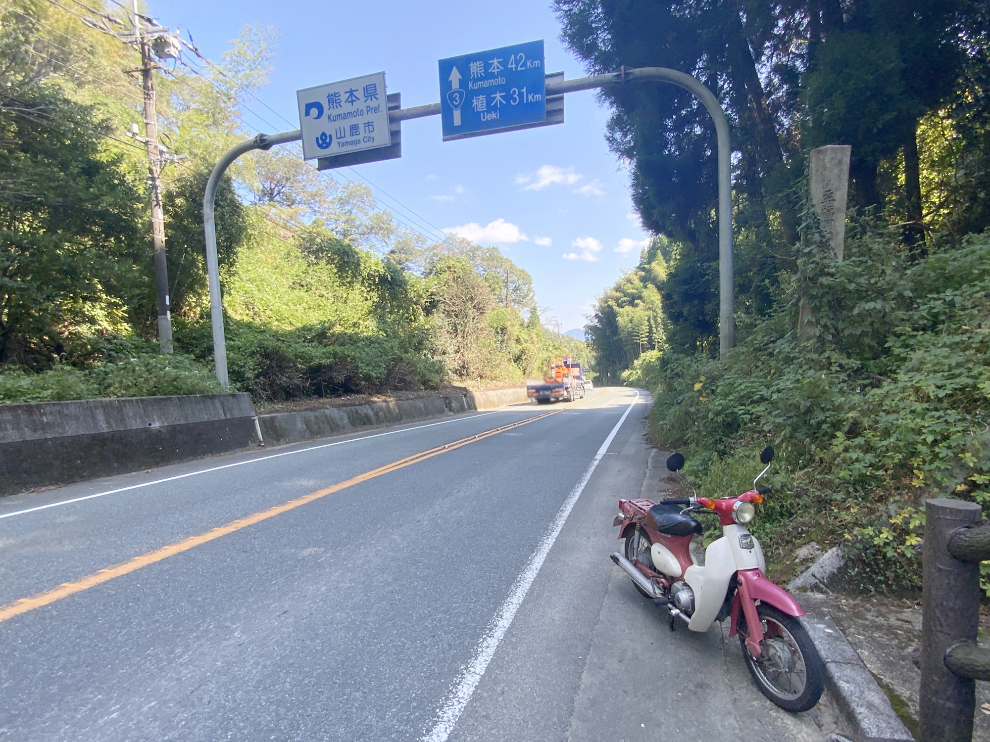
This is where Kumamoto meets Fukuoka. It’s 42km to downtown Kumamoto from here. I was already feeling a bit tired and ready to turn back, but this was just the starting point.

Although it’s covered in ivy and hard to make out, there is also a stone monument marked “Kumamoto-Fukuoka Prefectural Boundary.”
From here, I planned to follow Route 3 all the way to the border with Kagoshima Prefecture, stopping at roadside stations to enjoy some local delicacies.
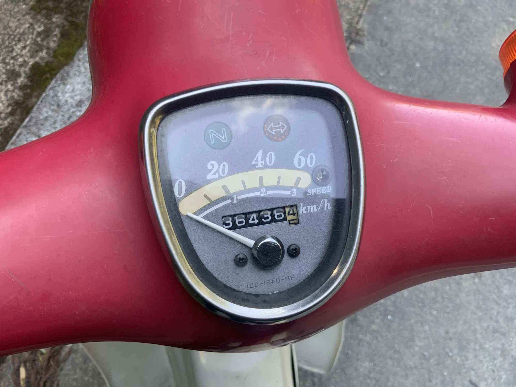
For the record, my odometer read “36,436 km” at the start. I wonder how many kilometers it will be from one end to the other…
Idyllic One-Lane Road
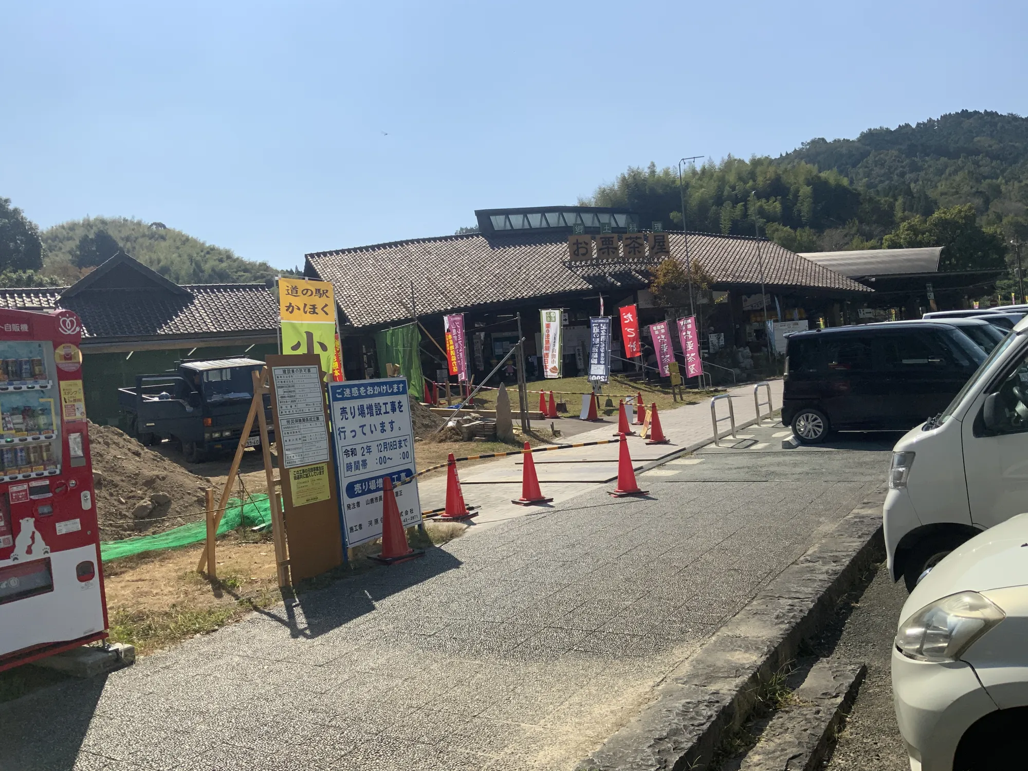
Riding along National Route 3, shortly after entering Kumamoto, you’ll find “Michi-no-Eki Kahoku.” It seemed too early for a break, so I rode past, though there were quite a few cars parked there.
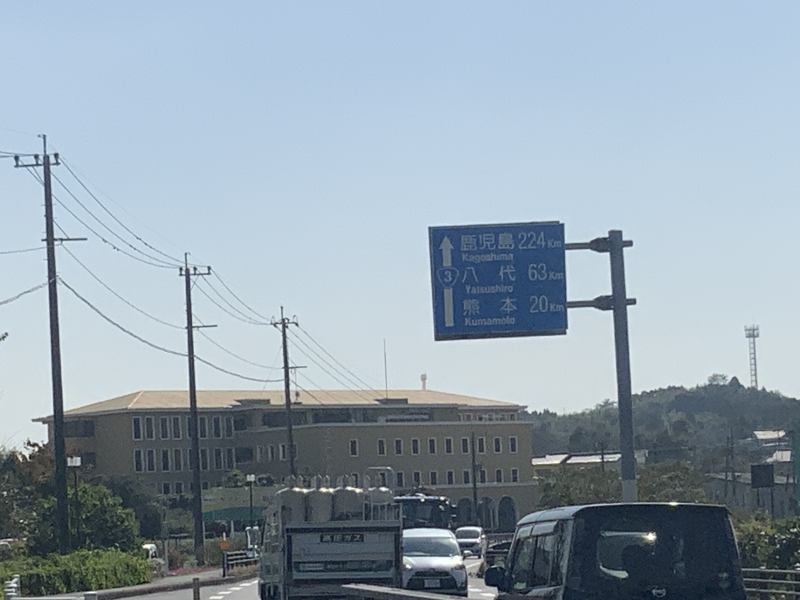
It already feels like I’ve been riding for a while, but it’s still 20 km to Kumamoto City and 63 km to Yatsushiro. The journey seems endless.
Living in Kumamoto City, you might think of Route 3 as a major road, but in Yamaga City, it’s just a single lane.
I continued along this peaceful road, heading toward Kumamoto City.
To Kumamoto City
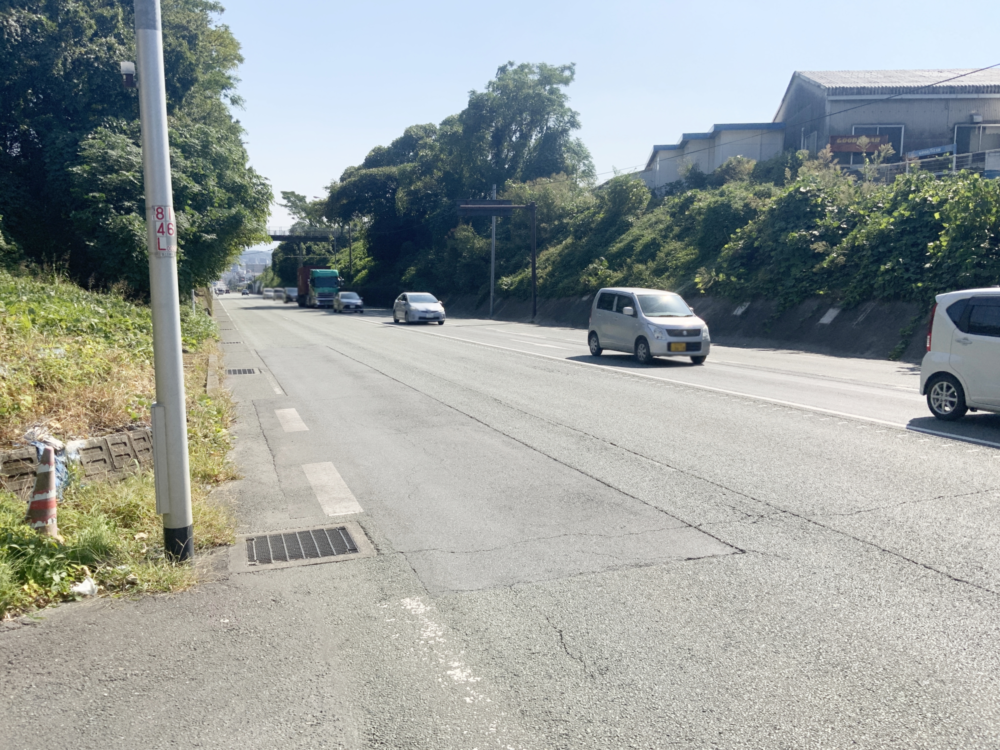
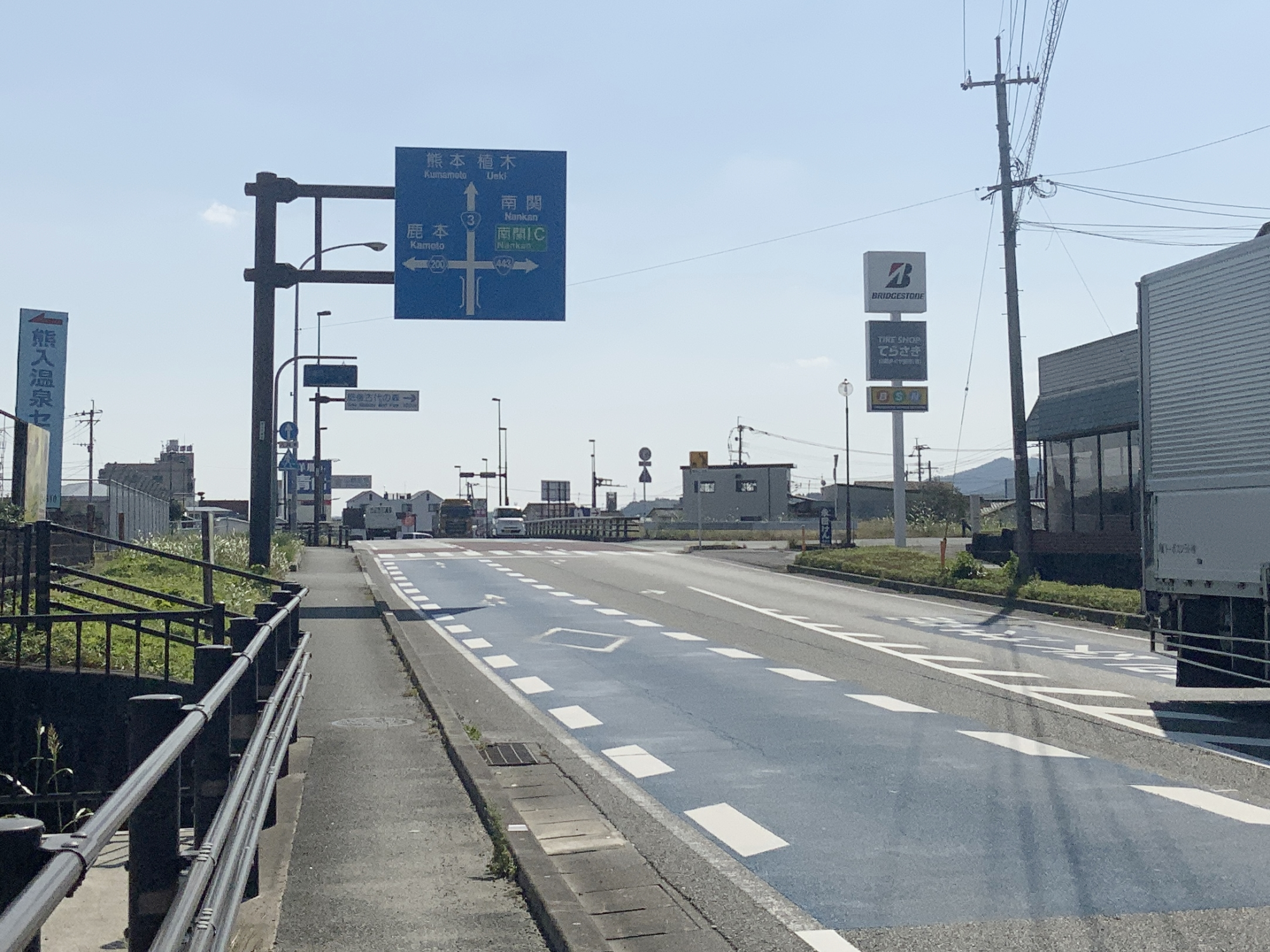
Passing through Ueki, entering Kumamoto City, and moving past the Nitori and Uniqlo at Yomogi, the road widens to two lanes.
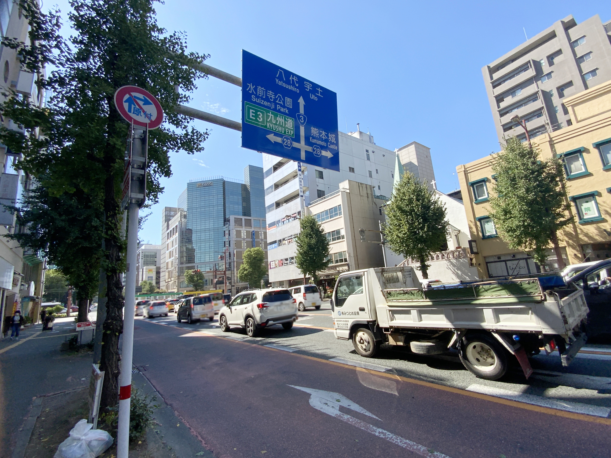
Continuing straight, I passed straight through the heart of Kumamoto City, at Suidocho. This area, which intersects with Densha-dori (the main street along which the city tram runs), is quite busy with traffic.
The familiar roads are somewhat comforting. From here, I went straight, crossing Choroku Bridge toward Uto.
In Minami-ku, Route 3 merges temporarily with National Route 57, another major route which cuts through the prefecture from east to west. This was news to me.
By this point, I was starting to feel quite tired.
Passing Through Uto and Uki to Yatsushiro
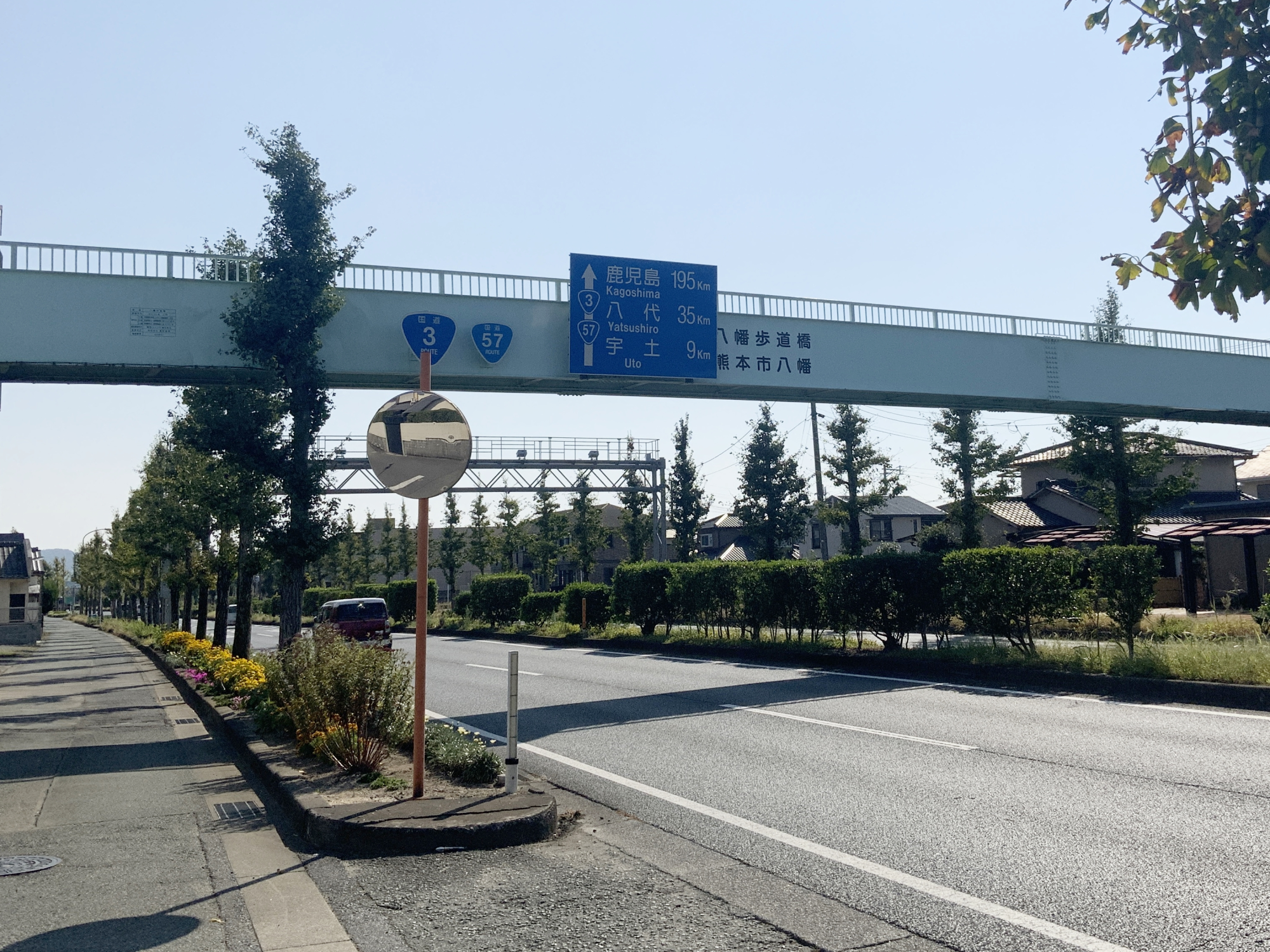
Routes 3 and 57 stay merged up to Uto.
Turning left here takes you along Route 57 towards Amakusa, while turning right keeps you on Route 3 heading for Yatsushiro and Uki.
Here, the sign finally showed the distance to Minamata: “76 km.” Whether this is a moped-friendly distance is highly debatable, but I hoped to reach it before dusk.
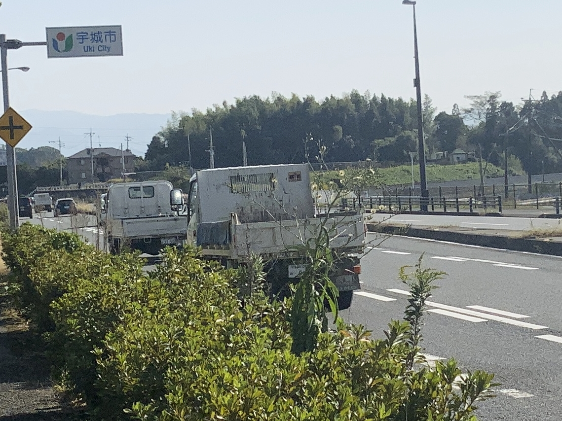
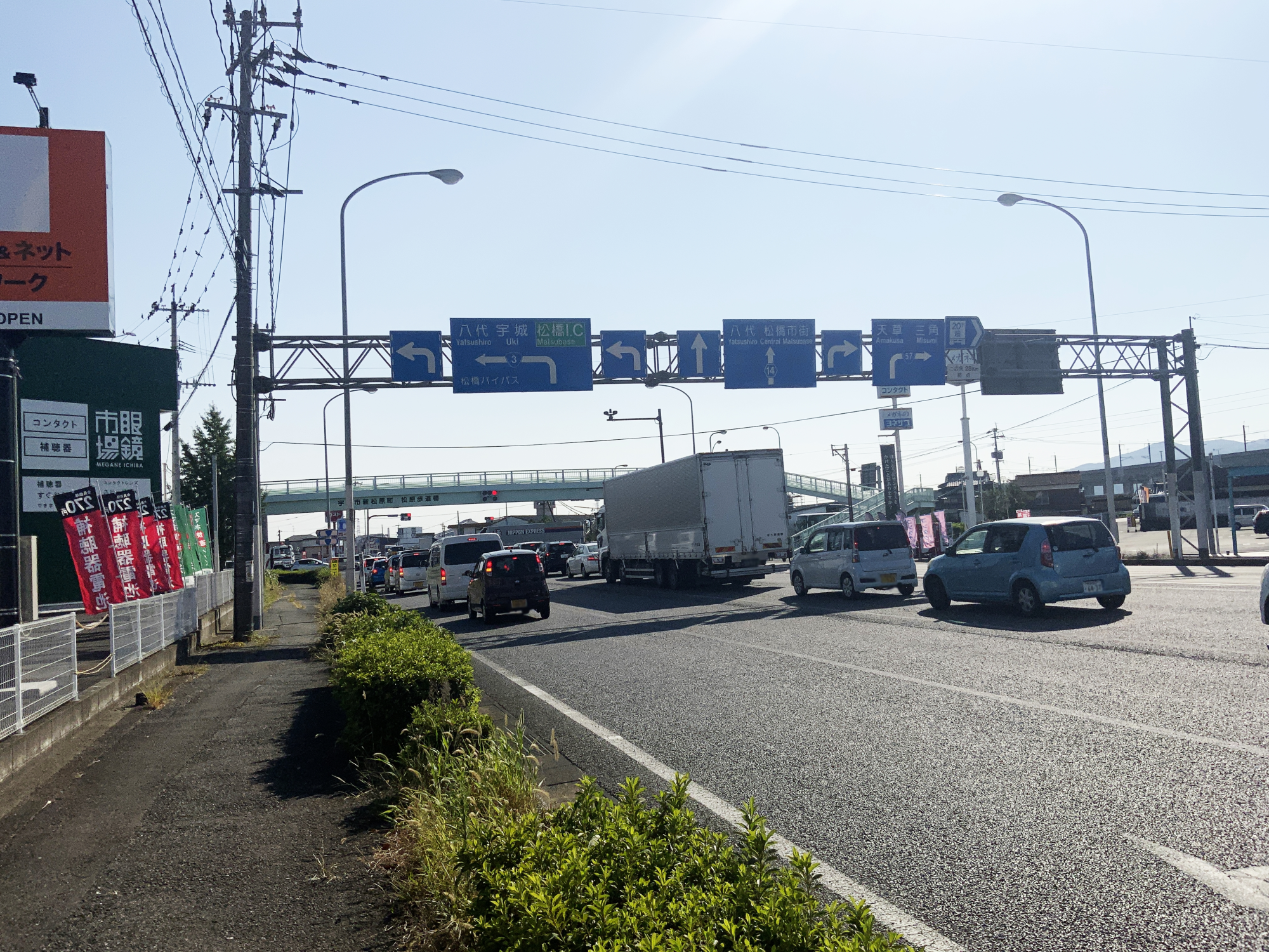
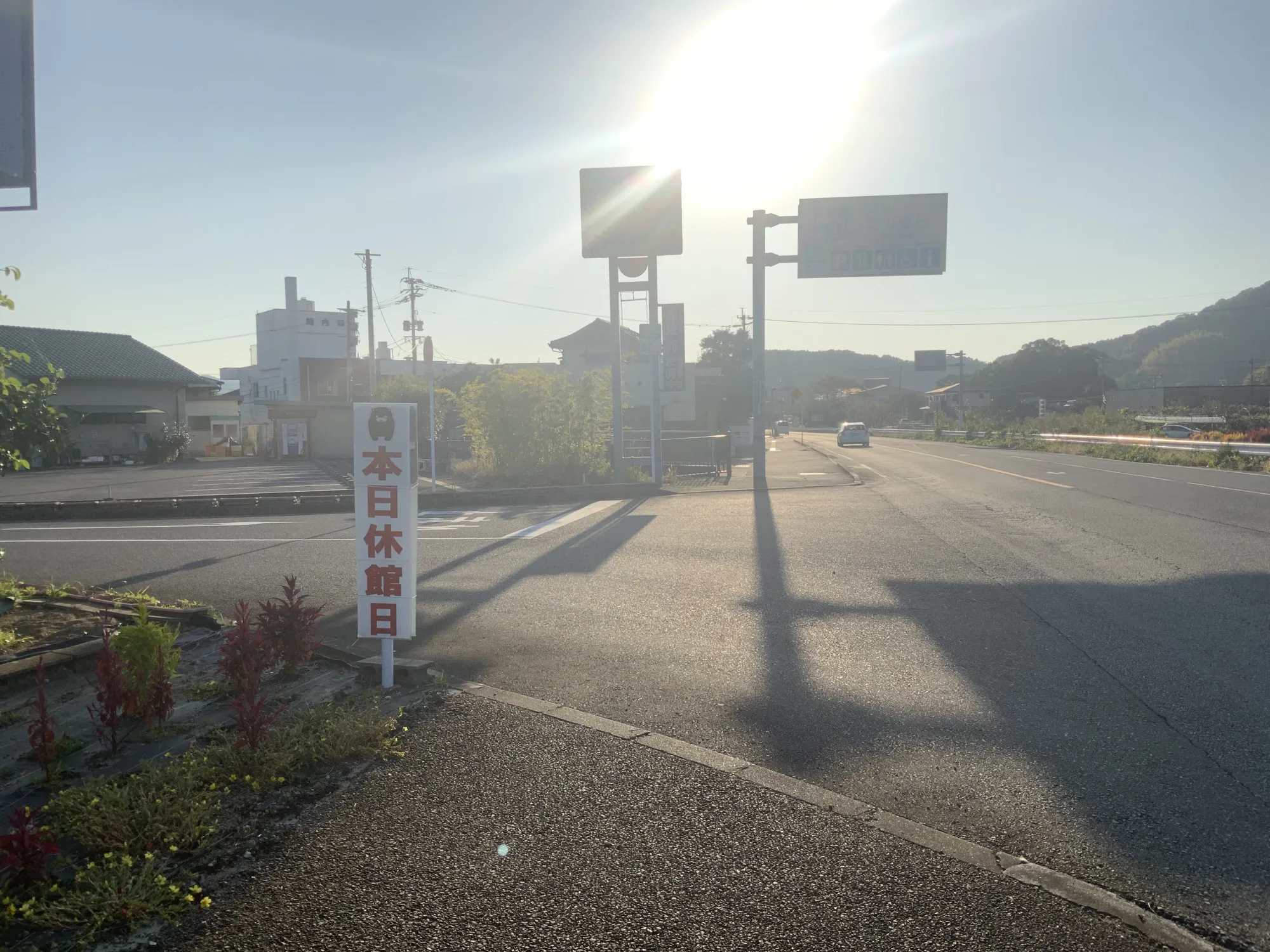
Soon after, I entered Uki City. I had planned to stop at “Michi-no-Eki Uki” but missed the entrance and passed it by. The next roadside station is “Michi-no-Eki Ryuhoku” in Hikawa Town.
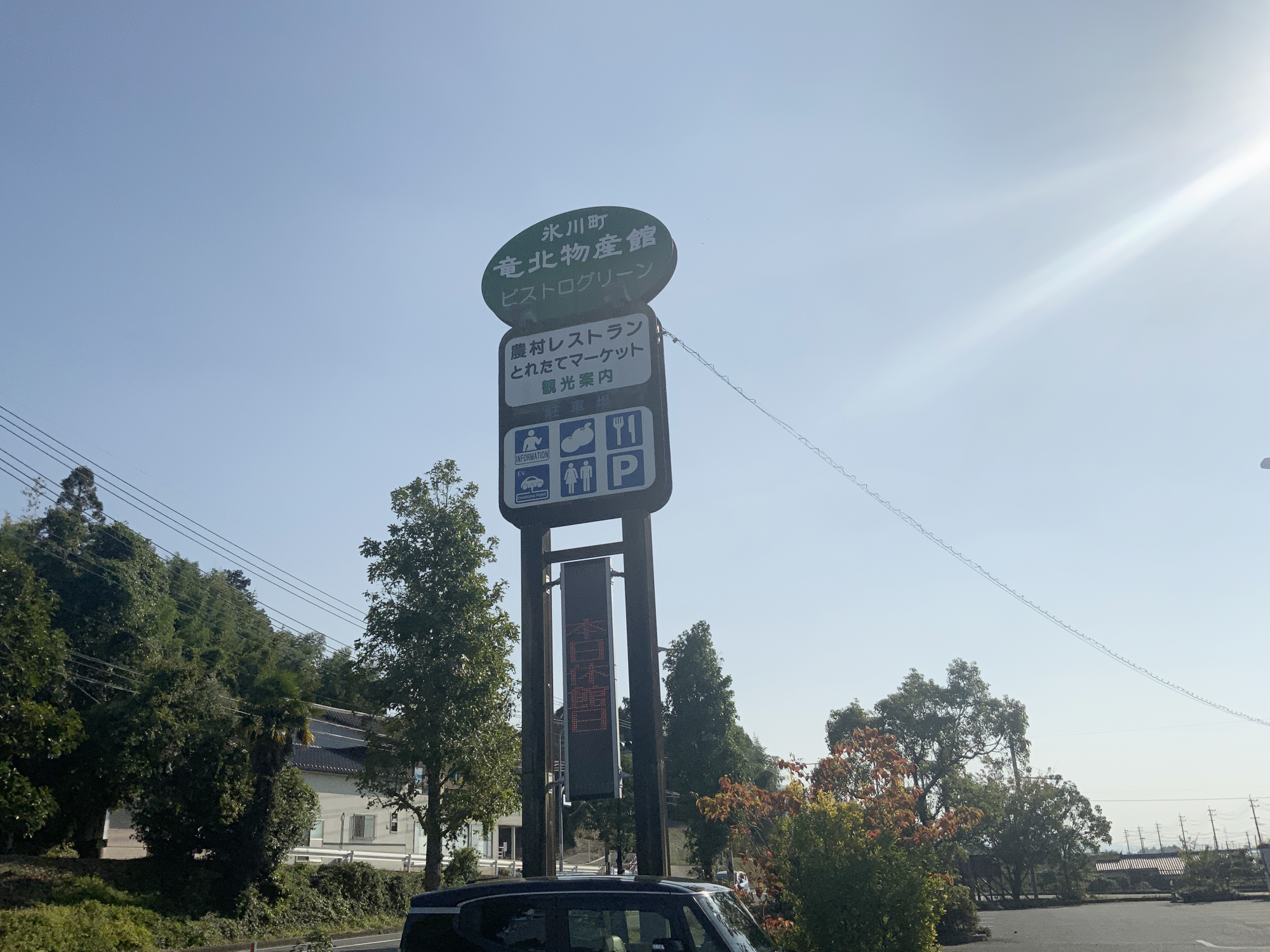
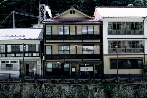
This is “Michi no Eki Ryukoku” (Roadside Station Ryukoku) located along Route 3.
It’s hard to see in the photo due to the glare from the sun overhead, but the electronic board sadly reads “Closed Today.” I held back tears and continued on.
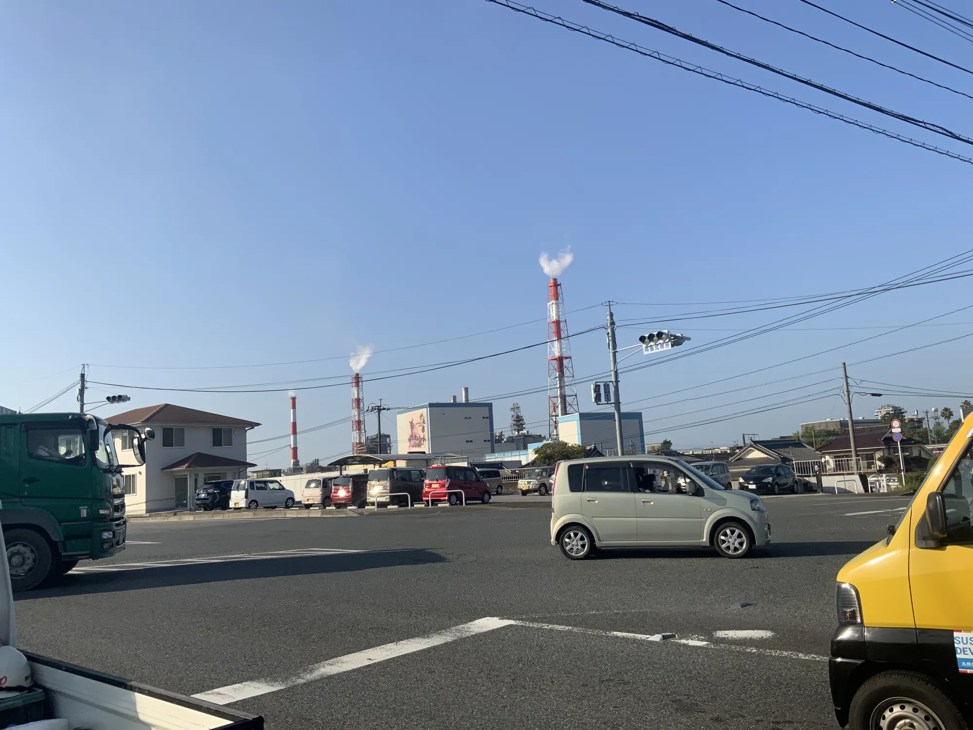
After a while, I entered Yatsushiro City. Seeing the smoke rise from the Nippon Paper factory, I truly felt I had arrived in Yatsushiro.
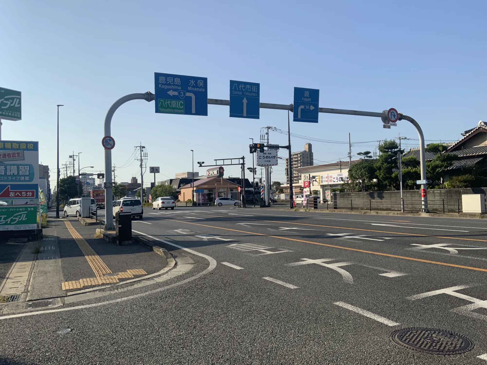
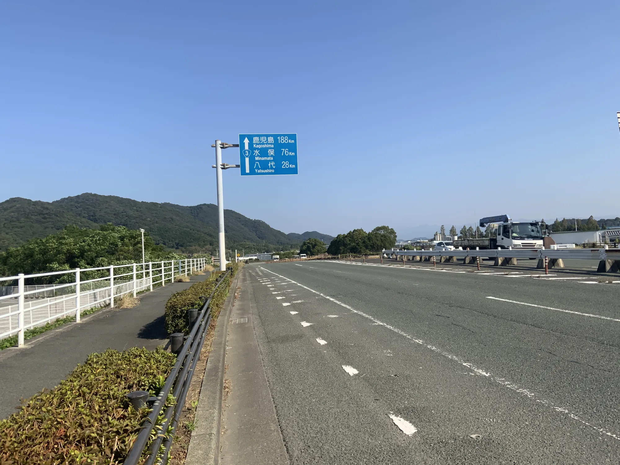
Before heading into the city center of Yatsushiro, Route 3 forks left on the way to Minamata.
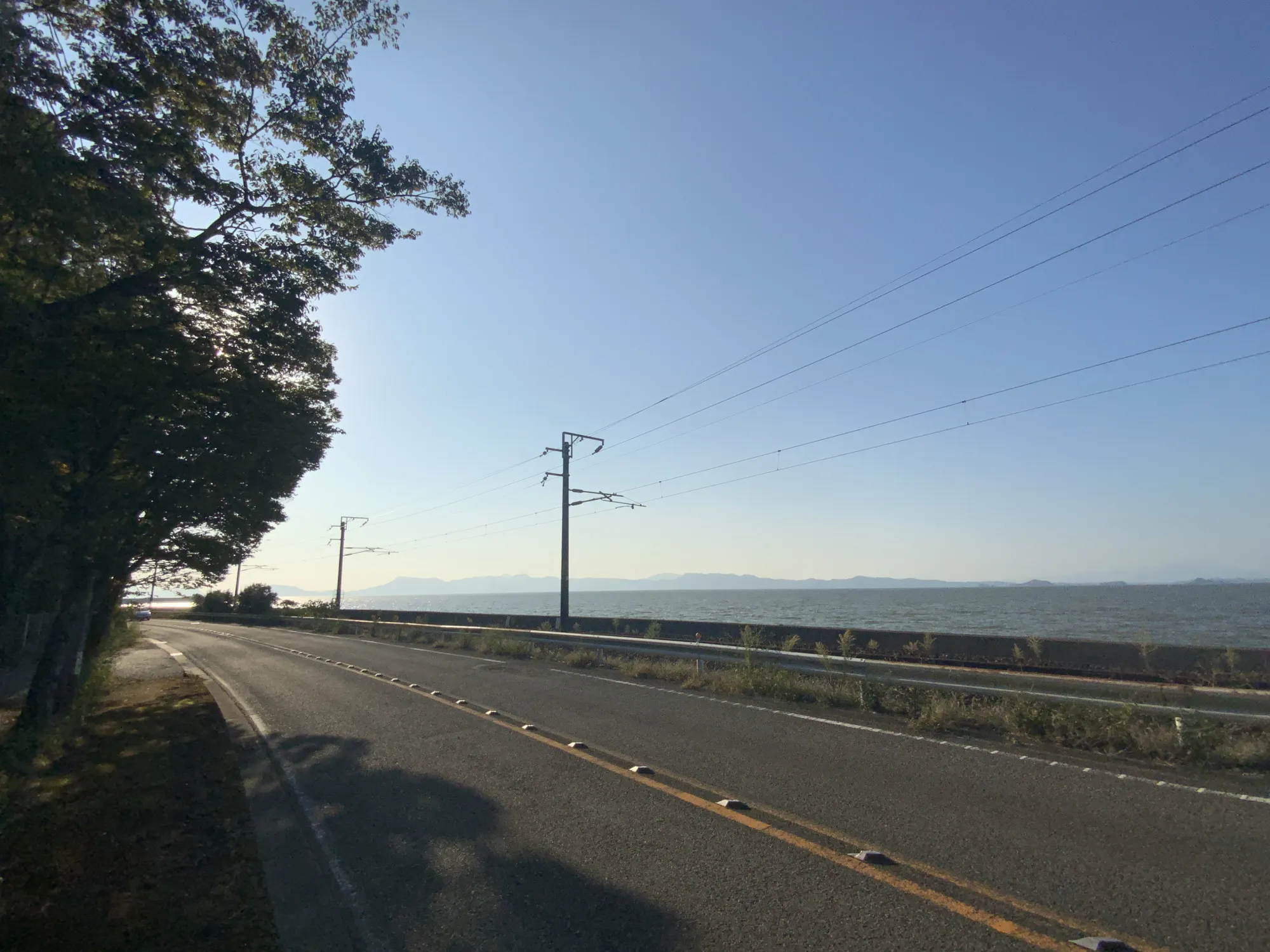
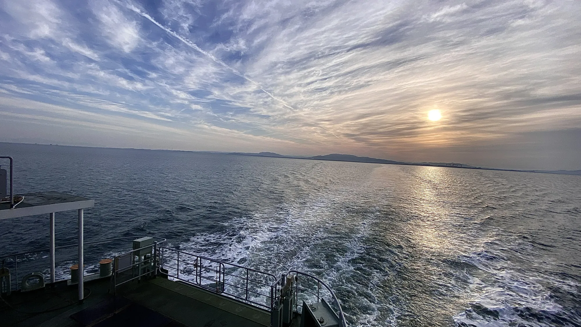
From Hinagu, the route runs along the coast, offering stunning views.
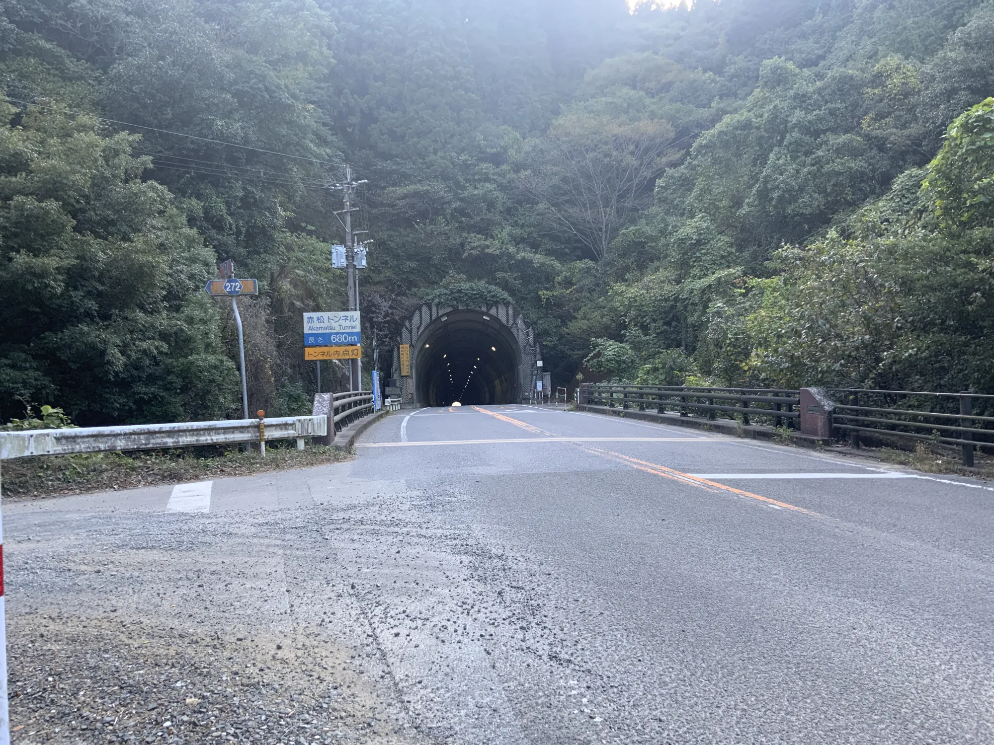
Continuing on, I encountered the Akamatsu Tunnel, the first tunnel since starting in Yamaga City.
Ashikita Town at the End of the Tunnel
As I emerged from the tunnel, I arrived in Ashikita Town. Right away, I came across “Michi-no-Eki Tanoura,” but unfortunately, it was closed for the day. The sun was beginning to set. Could I make it to the edge of Minamata by sunset?
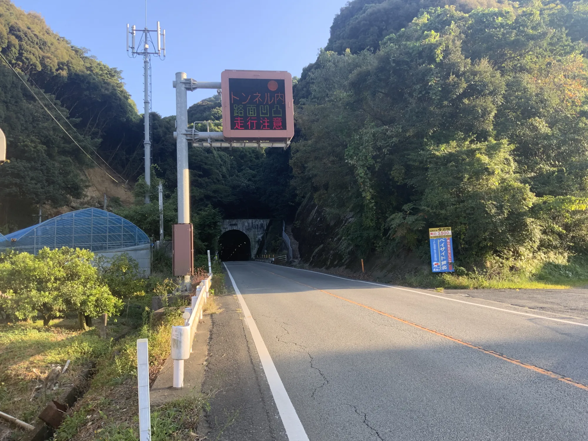
Another tunnel, “Sashiki Tunnel,” appeared. It was a bit intimidating to ride through on a moped because of its length. While there were no tunnels in the northern part of the prefecture, the south had several. The differences are quite intriguing.
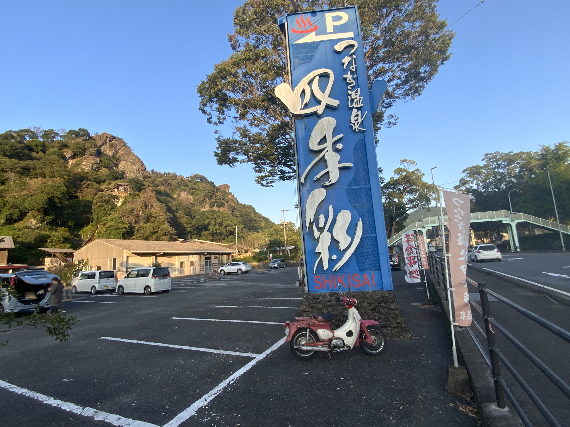
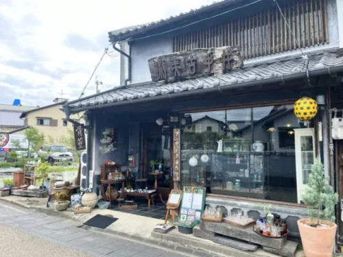
After passing through Ashikita Town, I stopped in Tsunagi Town.
Although not a roadside station, the Shikisai Products Store was open, so I took a short break.
Route 3 to the Minamata
Past Tsunagi Town, I finally reached Minamata City. At this point, I began to feel almost empty inside, almost as if in a meditative state.
As the sun began to set, I began to wonder, “what am I even doing?”
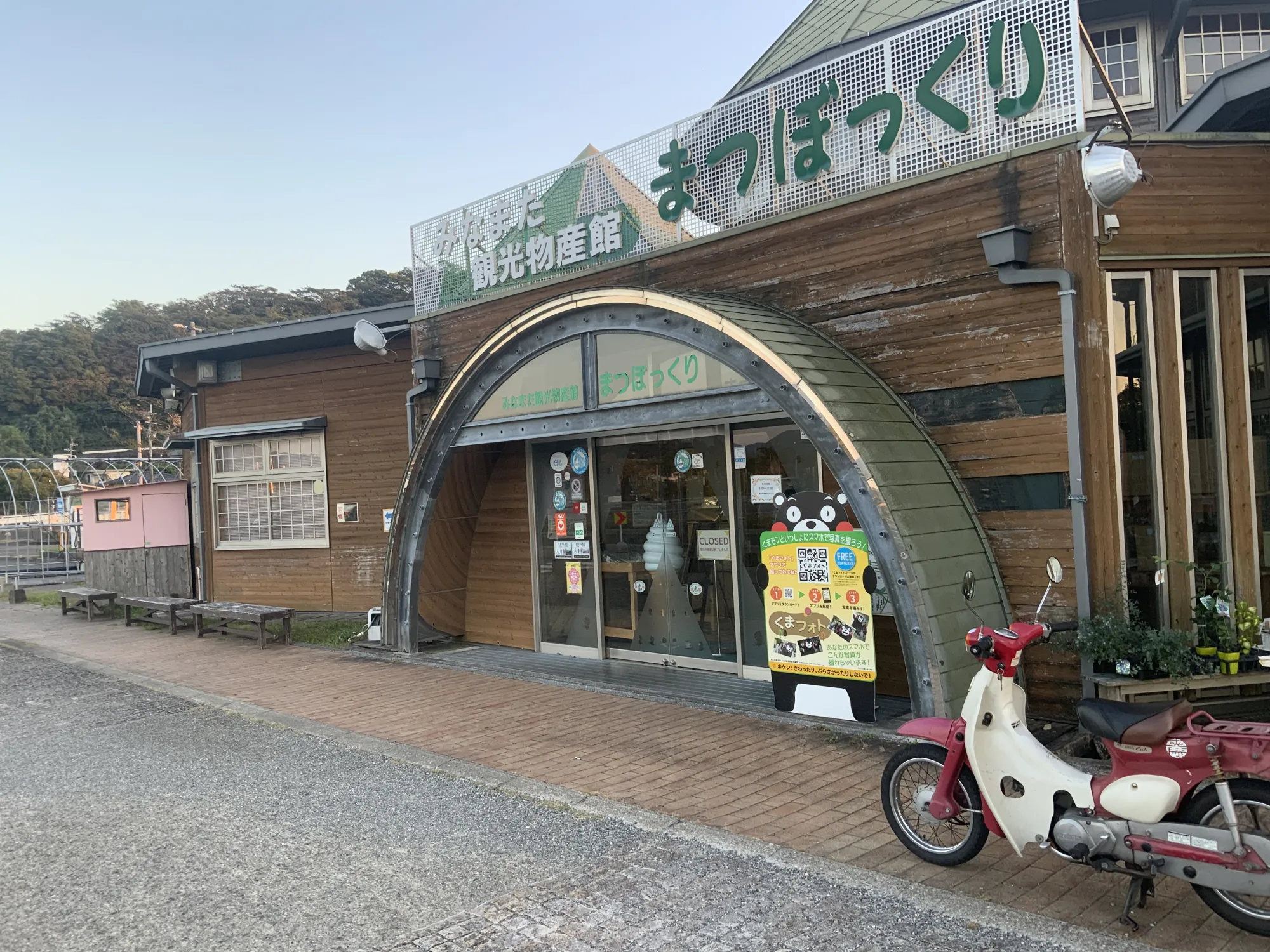
I tried stopping at “Michi-no-Eki Minamata,” but it had already closed for the day at 5 PM. So close, yet so far.
However, I was determined to reach my final goal, the Kagoshima prefectural border at Minamata, and pressed on.
Endpoint of the Journey
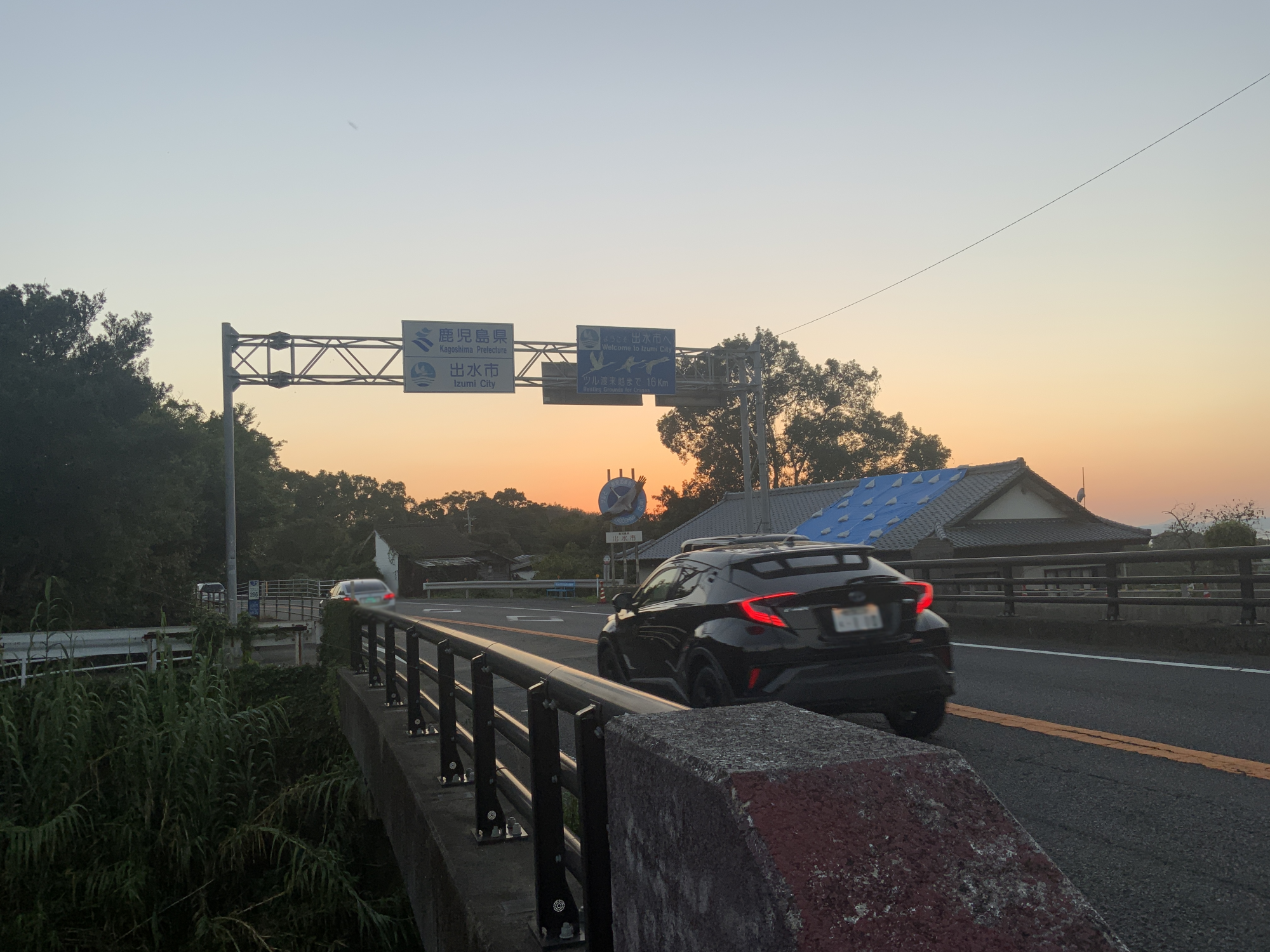
Riding in the beautiful twilight, something came into my line of sight–
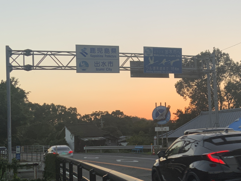
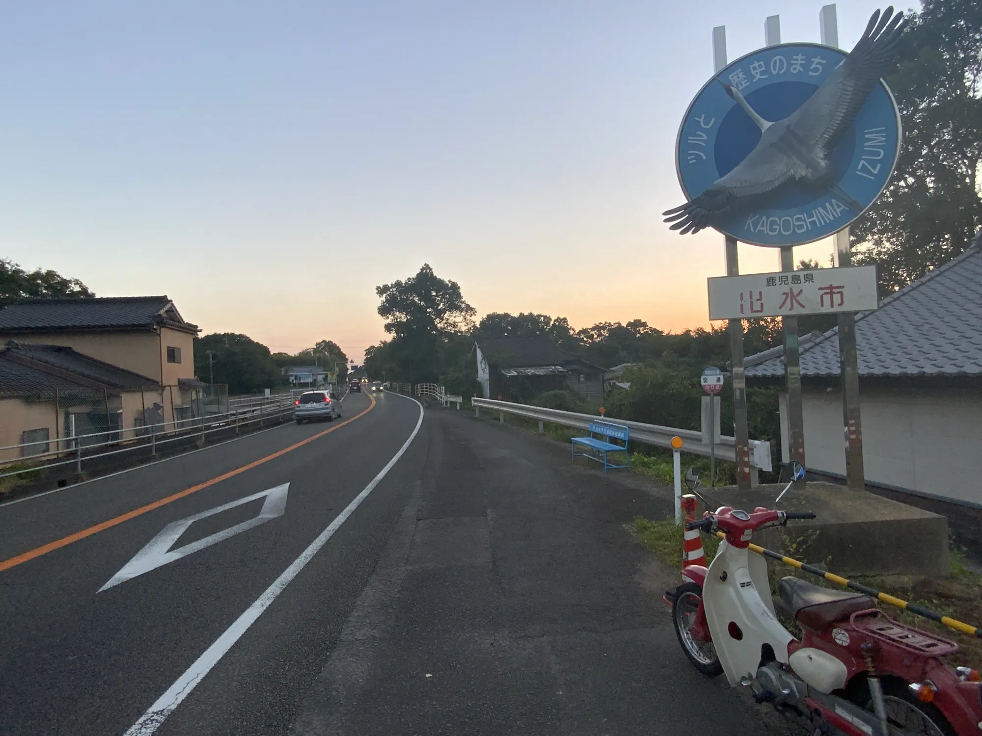
I found it! “Izumi City, Kagoshima Prefecture!” I had made it to the end of Route 3!
I somehow managed to reach the end of Route 3 by sunset.
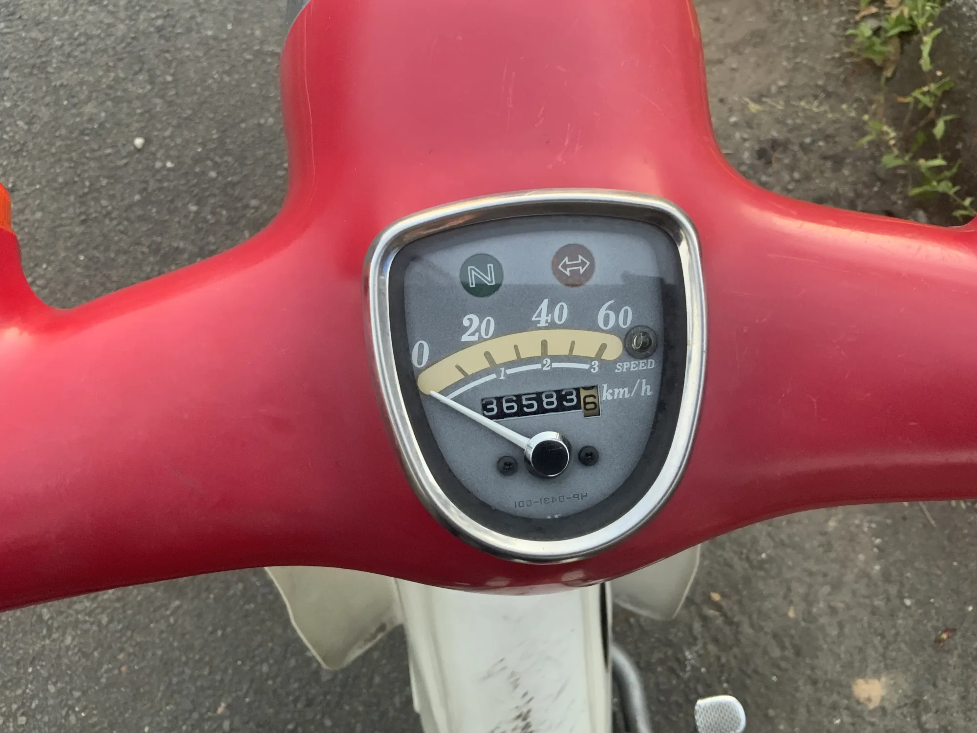
The odometer read “36,583km” upon arrival. I had started at “36,436km,” covering approximately 147km…
I had filled up right before starting and didn’t need to refuel along the way. Not even 500 yen on gas! The Honda Cub is amazing! (Not an advertisement)
National Route 3: Connecting Kahoku to Minamata
So that is how I rode a moped along Route 3 from one end of Kumamoto to the other, from Kahoku, Yamaga City to Fukuro, Minamata City.
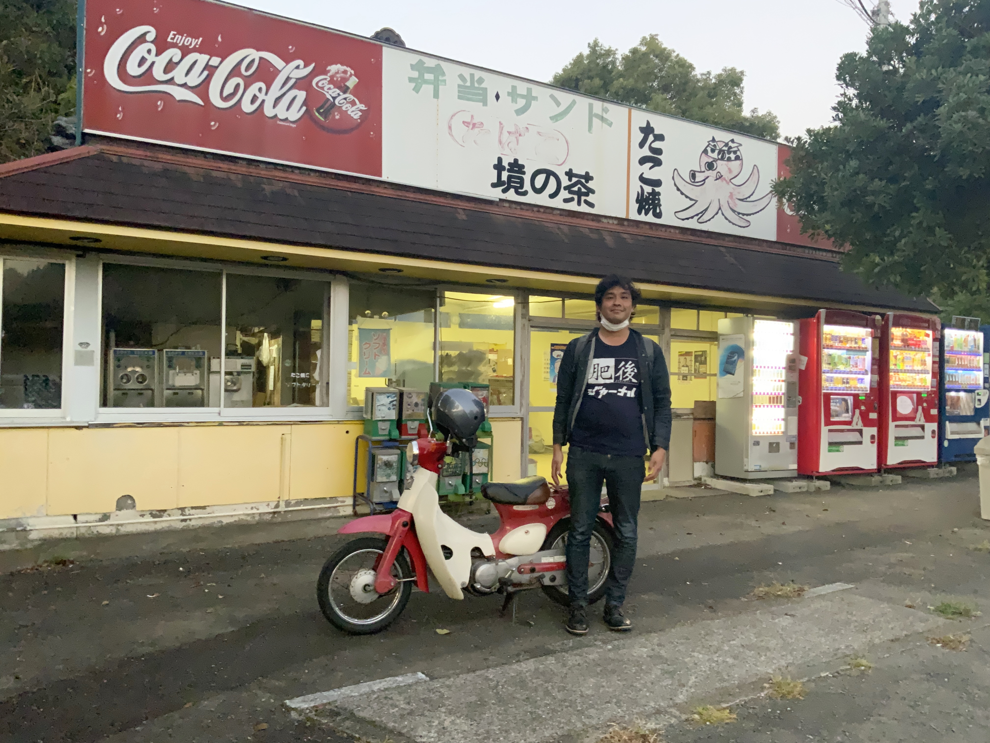
At the border with Kagoshima Prefecture, there was a small store called “Sakai-no-cha” . Thank you, store manager grandma, for taking my picture.
Even on familiar roads, there were many unexpected discoveries! If you have the time, I highly recommend exploring Route 3.
And then, seconds later, I was hit by a wave of despair.
“Now I have to go back to Kumamoto City…”
TRANSLATOR
kese
I was shocked by Lady Gaga's “Poker Face” in my childhood, fell in love with English songs, and now I am a university student majoring in English. I will do my best to bring you enjoyable English translations!
This writer's other articles.


Related Articles


 Editor's Recommended


PUBLIC RELATIONS PR記事
-
Official SNS
-


SHARE